| Название | Размер, см | Описание | |
|
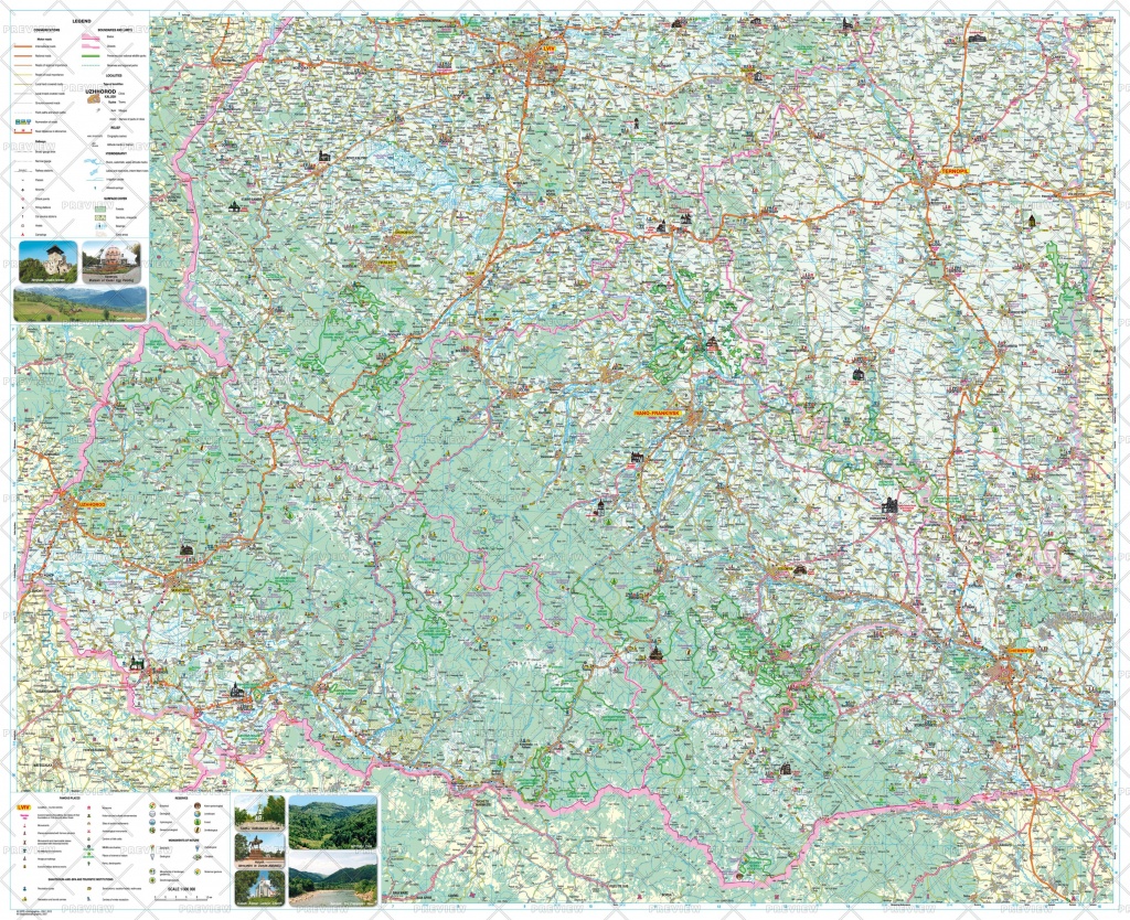
Туристическая карта Карпат | 110х90 см |
Place names on the map are written in the Ukrainian Latin alphabet (Latynka). The Carpathian region, a popular holiday destination, is one of the most attractive regions to travel in Ukraine. This map provides information about tourism features: the most famous historical and cultural, architectural and archaeological monuments, features of nature preservation, museums and spas. Tourist infrastructure and tourist service facilities are listed. The map contains pictures of architectural monuments.
|
|
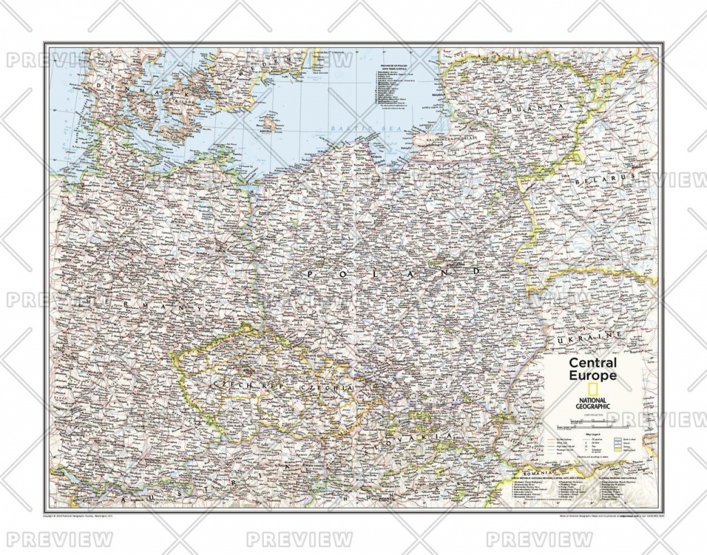
Карта Центральной Европы |
71х56 см |
Belarus, Czech Republic (Czechia), Kaliningrad Oblast (Russia), Lithuania, Poland, Slovakia, Ukraine
|
|
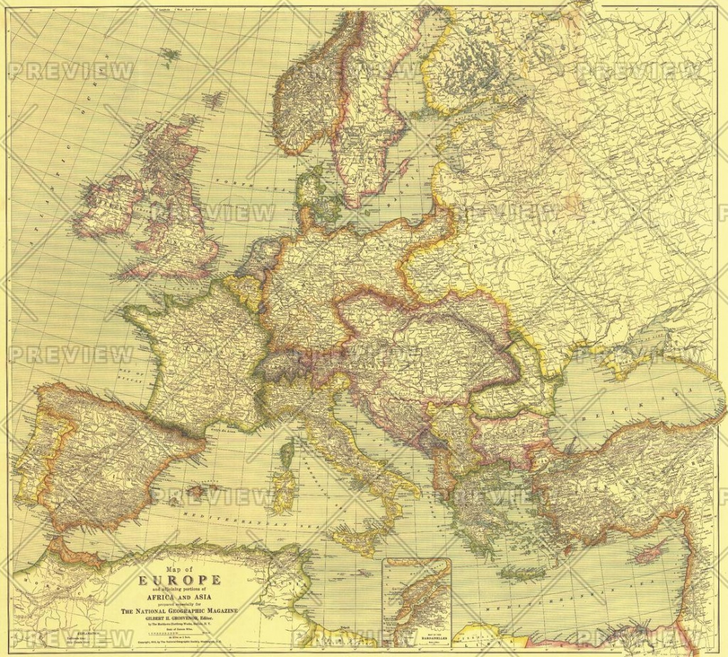
Карта Европы 1915 г. |
80х72 см |
This beautifully rendered map of Europe was published in July 1915, one year into the First World War. A historical snapshot of a region in turmoil, this map is a must-have for map collectors, as well as those interested in The Great War. A National Geographic classic.
|
|
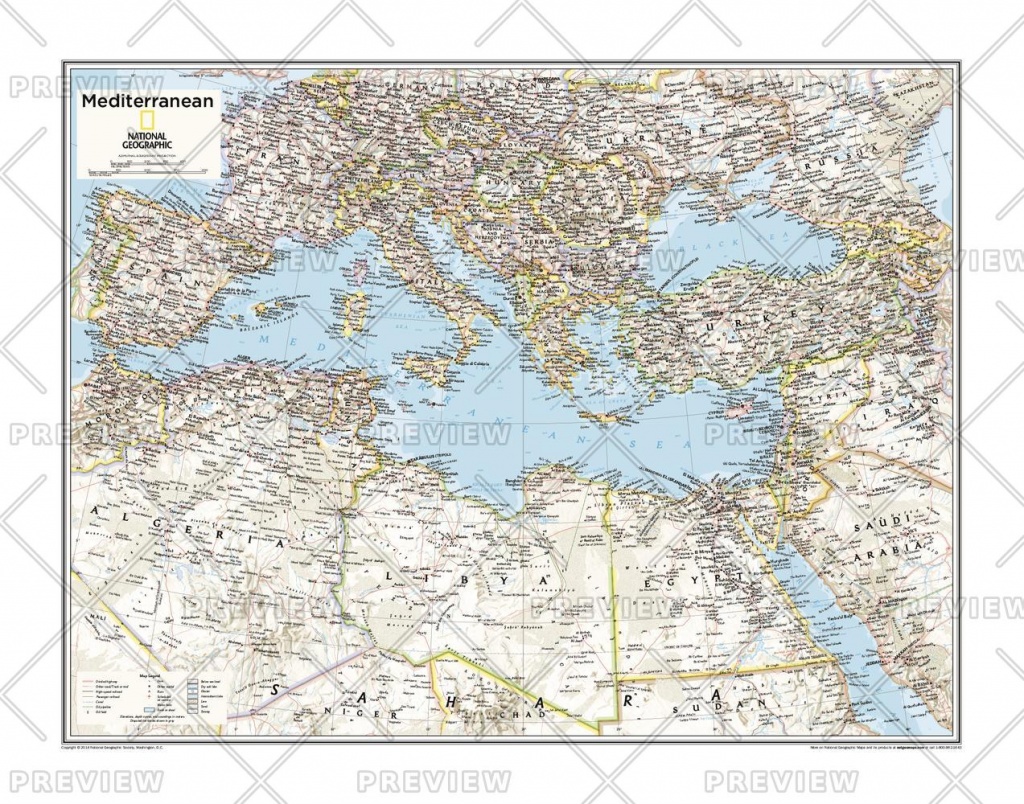
Карта Средиземноморья |
71х56 см |
2015 г. National Geographic. |
|
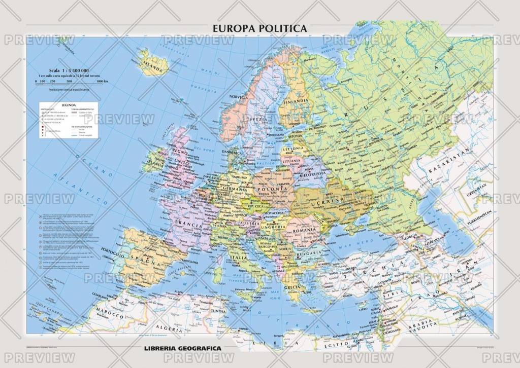
Карта Европы на итальянском языке |
141х100 см |
Political Europe Map with Italian toponymy for the study of geography |